EASTERN RIDGE OF SHENANDOAH
Top 7 Hikes & Trails
in Eastern Shenandoah
National Park
The eastern ridge of Shenandoah — accessed via Etlan, Syria, Elkton, and Thornton Gap — holds some of the finest trail walking on the entire East Coast. No crowds of Massanutten. Just mountain, rock, and sky.
7
CURATED TRAILS
3
DIFFICULTY LEVELS
360°
SUMMIT VIEWS
The Eastern Ridge of Shenandoah
These seven trails hug the Madison County and Rappahannock County edges of Shenandoah National Park — accessed through towns like Etlan, Syria, and Sperryville, and Skyline Drive entrances at Thornton Gap and Swift Run Gap. They offer everything from family-friendly walks to serious all-day summit scrambles, with far fewer visitors than the Skyline Drive interior.
A National Park pass or day pass is required for all hikes within park boundaries. Old Rag requires an additional timed-entry reservation on weekends and holidays.
01
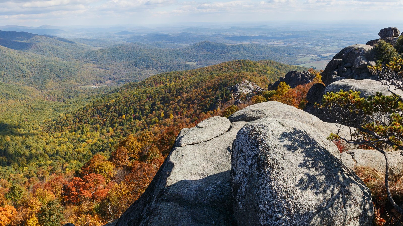
Old Rag Mountain
9.0 mi loop ● 2,415 ft gain ● 5 -8 hrs
Difficulty Level: Strenuous
The most iconic hike in the mid-Atlantic and arguably the finest trail on the entire East Coast. Old Rag's famous rock scramble — a mile-long labyrinth of granite boulders, chimneys, and squeeze-throughs — is unlike anything else in the Blue Ridge. The summit rewards with genuine 360-degree views stretching from the Piedmont to the Shenandoah Valley. Trailhead is in Nethers, just outside Etlan off Route 600. A timed-entry day pass ($5) is required on weekends and holidays from March through November — book ahead, it sells out fast.
Features: Rock Scramble ● 360° Summit Views ● Bucket-List Trail ● Reservation Required Weekends
02
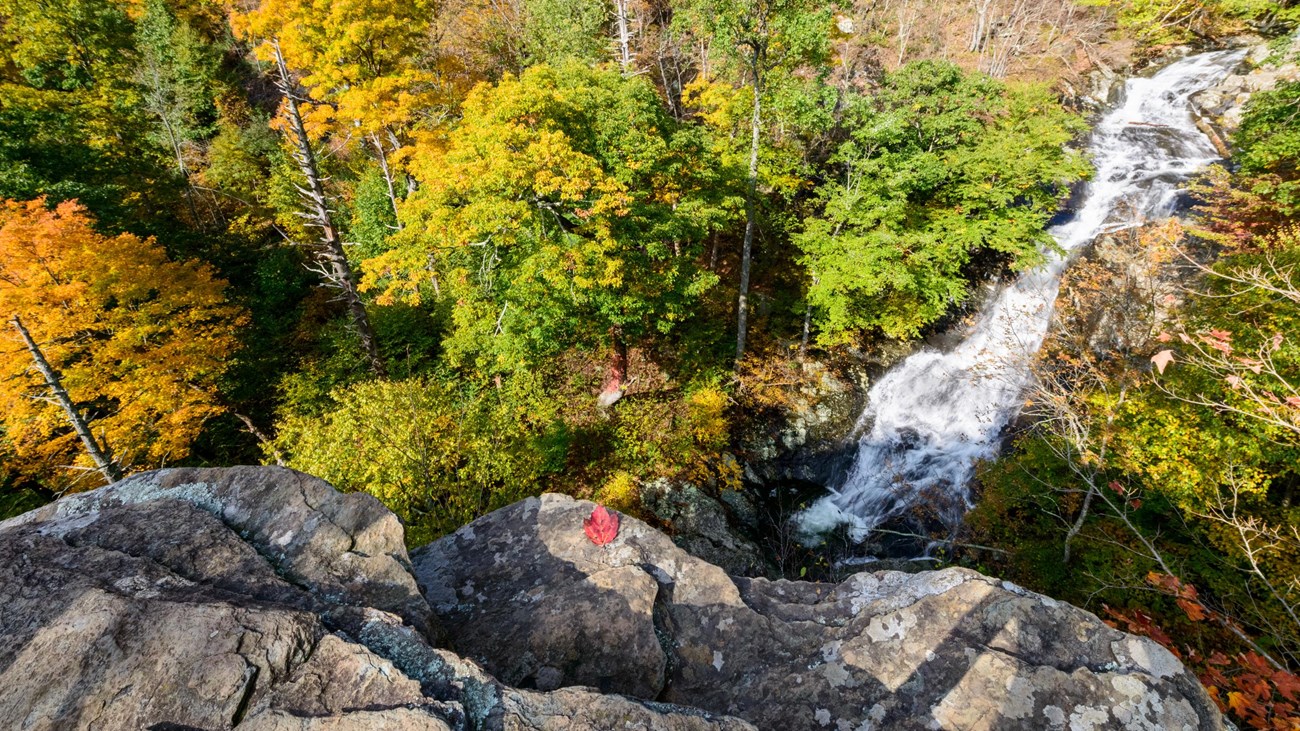
Whiteoak Canyon
4.6 - 9.2 mi out-and-back ● 1,040 ft gain ● 2.5 - 5 hrs
Difficulty Level: Moderate
Virginia's crown jewel waterfall hike. Whiteoak Canyon descends through a lush gorge past six distinct cascades, with the tallest dropping 86 feet in a single rushing curtain. Start from the lower trailhead on Weakley Hollow Road (off Route 600, near Old Rag) for a gorgeous creekside approach. Go as far as you like — even a short 2-mile walk-in rewards with two sets of falls. The full out-and-back to all six is a serious but deeply satisfying day. Fall foliage along the canyon walls is spectacular in October.
Features: 6 Waterfalls ● Swimming Holes ● Fall Foliage ● Kid Friendly (Lower Section)

03
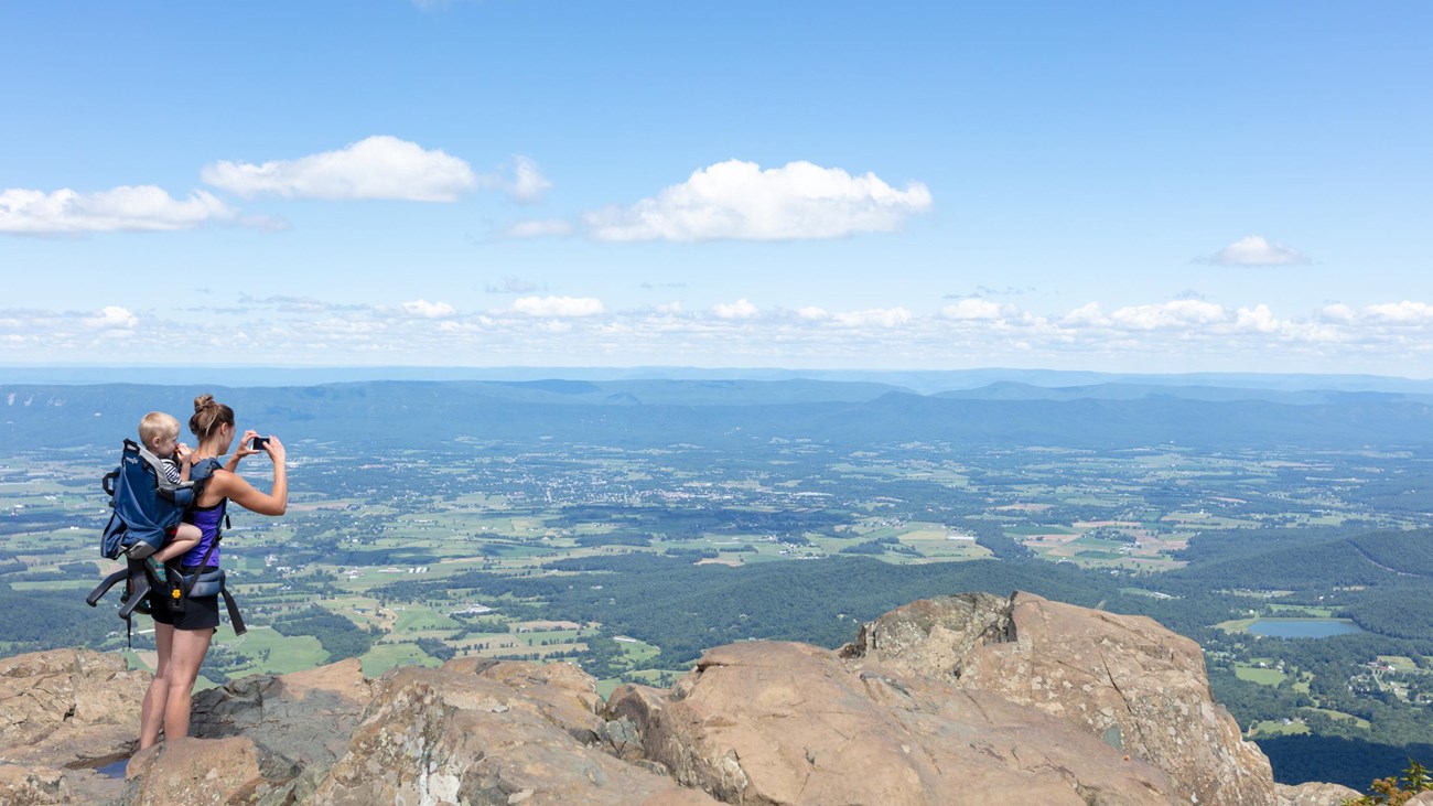
Stony Man Trail
1.6 mi loop ● 340 ft gain ● 45-90 min
Difficulty Level: Easy
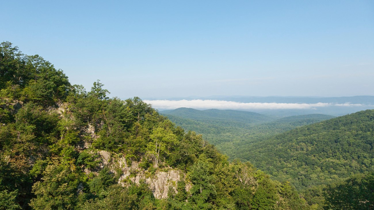
Shenandoah's best bang-for-your-buck hike. Stony Man is the park's second-highest peak at 4,011 feet, yet the summit trail from Skyline Drive is only 1.6 miles round-trip with modest elevation. The views from the exposed cliffs sweep across the Shenandoah Valley and as far as West Virginia on a clear day. Enter Shenandoah at Thornton Gap (Route 211) — the closest Skyline Drive entrance to Madison — and drive north to Milepost 41.7. Perfect for families, first-timers, or as a quick hike before an afternoon of winery-hopping.
Features: Best Easy Summit ● 4,011 ft Peak ● Family Friendly ● Thornton Gap Entry
04
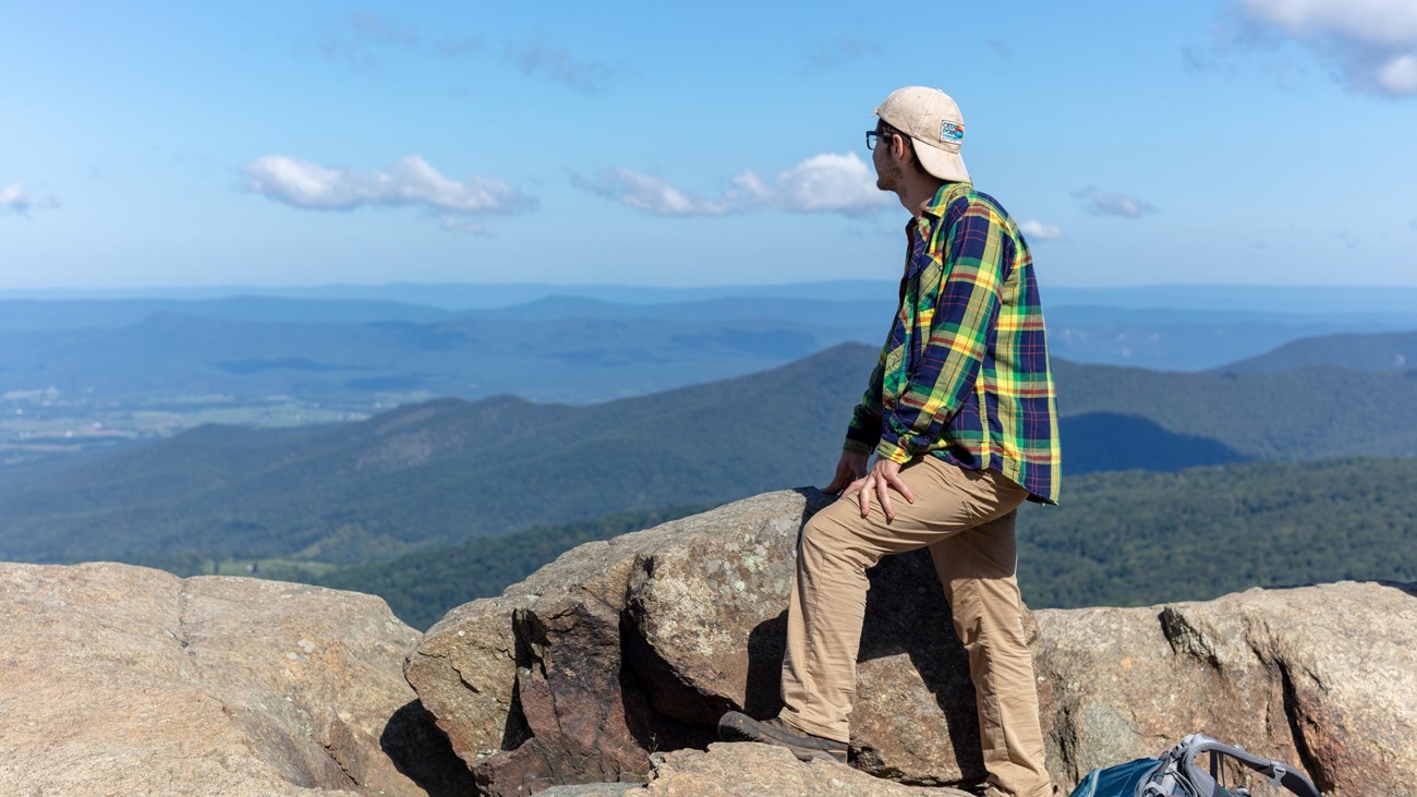
Mary's Rock
3.8 mi out-and-back ● 1,100 ft gain ● 3 - 3.5 hrs
Difficulty Level: Moderate
A classic Shenandoah summit hike with a reward far exceeding its effort. The Appalachian Trail from Thornton Gap (Route 211) climbs steadily through rocky switchbacks to a broad granite outcrop at 3,514 feet — where the views open dramatically in every direction. The AT trailhead parking is right at the Thornton Gap entrance station, making this one of the most convenient hikes from Madison. Named for Mary Thornton, whose family once farmed these mountains, it's equally beautiful in spring wildflowers and fall color.
Features: Appalachian Trail ● Panoramic Summit ● Thornton Gap Access ● Spring Wildflowers
05
Rapidan Camp Trail
4.0 mi out-and-back ● 870 ft gain ● 2-3 hrs
Difficulty Level: Easy-Moderate
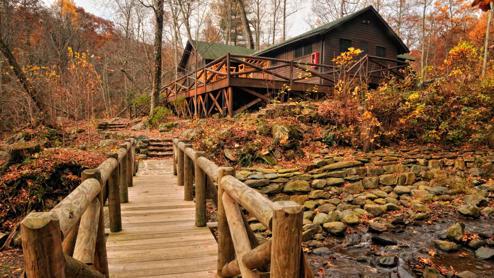
One of the most unique hikes in Shenandoah — history and nature in equal measure. The trail descends gently from Milam Gap on Skyline Drive through dense hardwood forest to President Herbert Hoover's 1929 mountain retreat on the Rapidan River. Three scenic stream crossings lead to the camp, where original log cabins are still standing and open to visit. Volunteer guides bring the story of Camp Rapidan to life. The Rapidan River itself, tumbling over moss-covered rocks outside the camp, is pure mountain magic. Closest Skyline Drive access is Swift Run Gap.
Features: Presidential History ● Stream Crossings ● Swift Run Gap Entry
06
Hazel Mountain Trail
8.1 mi out-and-back ● 1,335 ft gain ● 4 - 4.5 hrs
Difficulty Level: Moderate
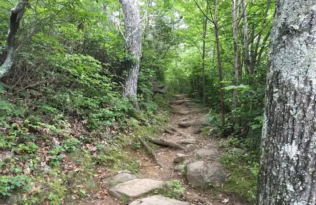
Hazel Mountain is the off-the-beaten-path gem of the eastern Shenandoah — where hikers who've done Old Rag a dozen times go when they want solitude. The loop climbs through second-growth forest past the ruins of old mountain homesteads, crosses Cold Spring Hollow, and joins the Hazel River Trail through one of the park's most peaceful creek valleys. No rock scrambles, no crowds, no noise — just the hush of deep forest, birdsong, and the occasional deer. An ideal spring or mid-week escape accessed from the same Nethers Road corridor as Old Rag.
Features: Low Crowds ● Historical Ruins ● Forest Solitude ● Nethers Road Access
07
Overall Run Falls
6.5-9.0 mi loop ● 1,500 ft gain ● 4-5 hrs
Difficulty Level: Hard
Home to Virginia's tallest waterfall at 93 feet, Overall Run Falls is one of Shenandoah's most dramatic destinations — and one of its least-visited. The descent from Skyline Drive drops through open ridgeline with sweeping valley views before plunging into the hollow where the falls tumble between narrow cliffs. Three separate cascades reward patient hikers, with the lowest and tallest accessible only on foot. Best visited in spring after good rainfall or late fall when the trees are bare and the falls are most visible. The Matthews Arm Campground serves as an alternate trailhead.
Features: Virginia's Tallest Waterfall ● Valley Overlooks ● Low Crowds ● 3 Cascades